Some of the information on this site (i.e. hours of operation, addresses) comes from the City of Ottawa open data catalogue.
Ottawa publishes splash pad locations in a number of different formats.
- One of the coolest things about Ottawa is that they have open data. (Open data is the idea that certain information should be publicly available. Read more about Ottawa Open Data and the terms of use.)
- You can download Ottawa Splash Pad data as an Excel spreadsheet (XLS)
- It’s even cooler to download Ottawa Splash Pad data as a KML map file.
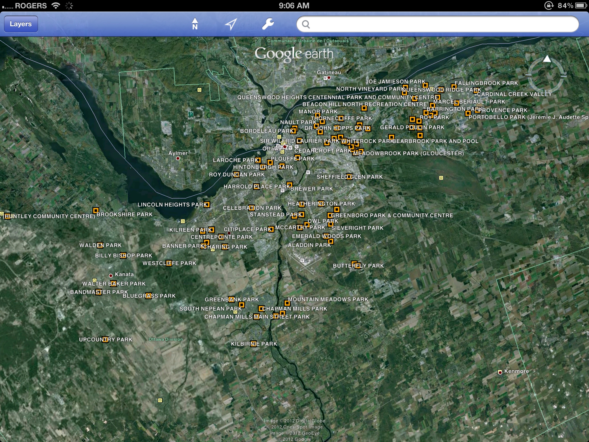
KML map data is cool on the iPad for two different reasons. If you open the kml file in the Google Earth app, you get little markers with all of the splash pad locations and you can zoom around and play.
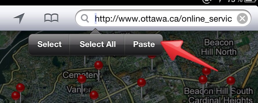
If you copy this kml link: http://67.205.104.160:8006/en/storage/f/2013-02-27T183726/odata0011.kml and paste it into the search bar in Google maps…
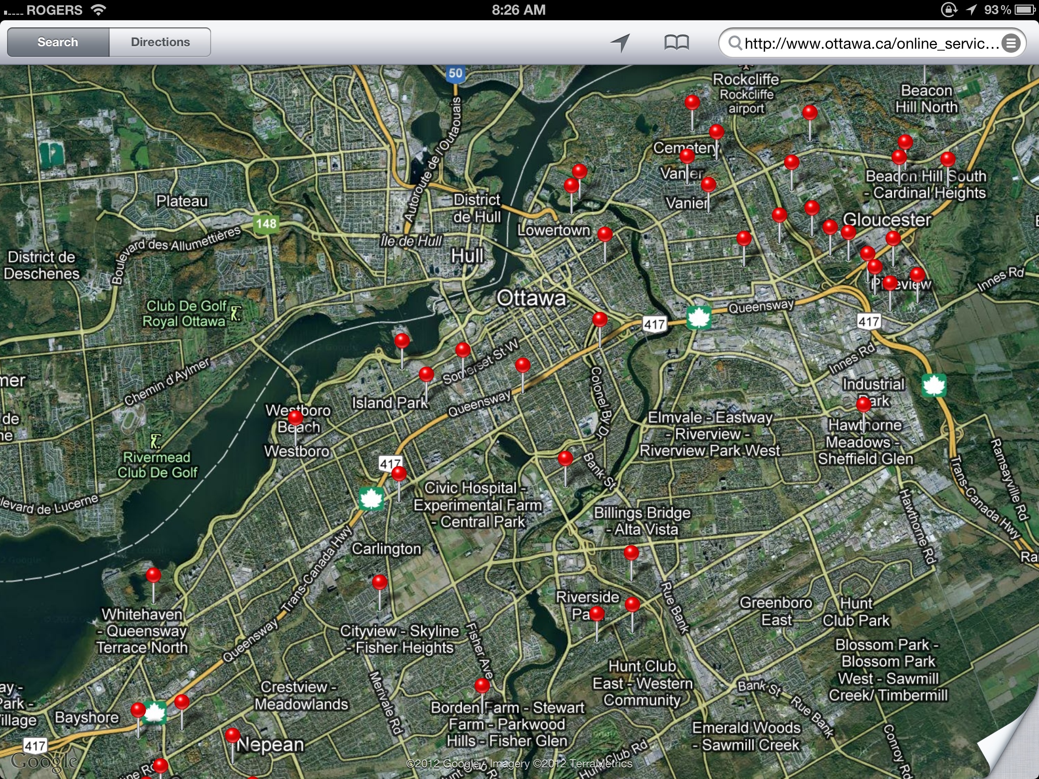
… You get a google map with location markers of the splash pads.
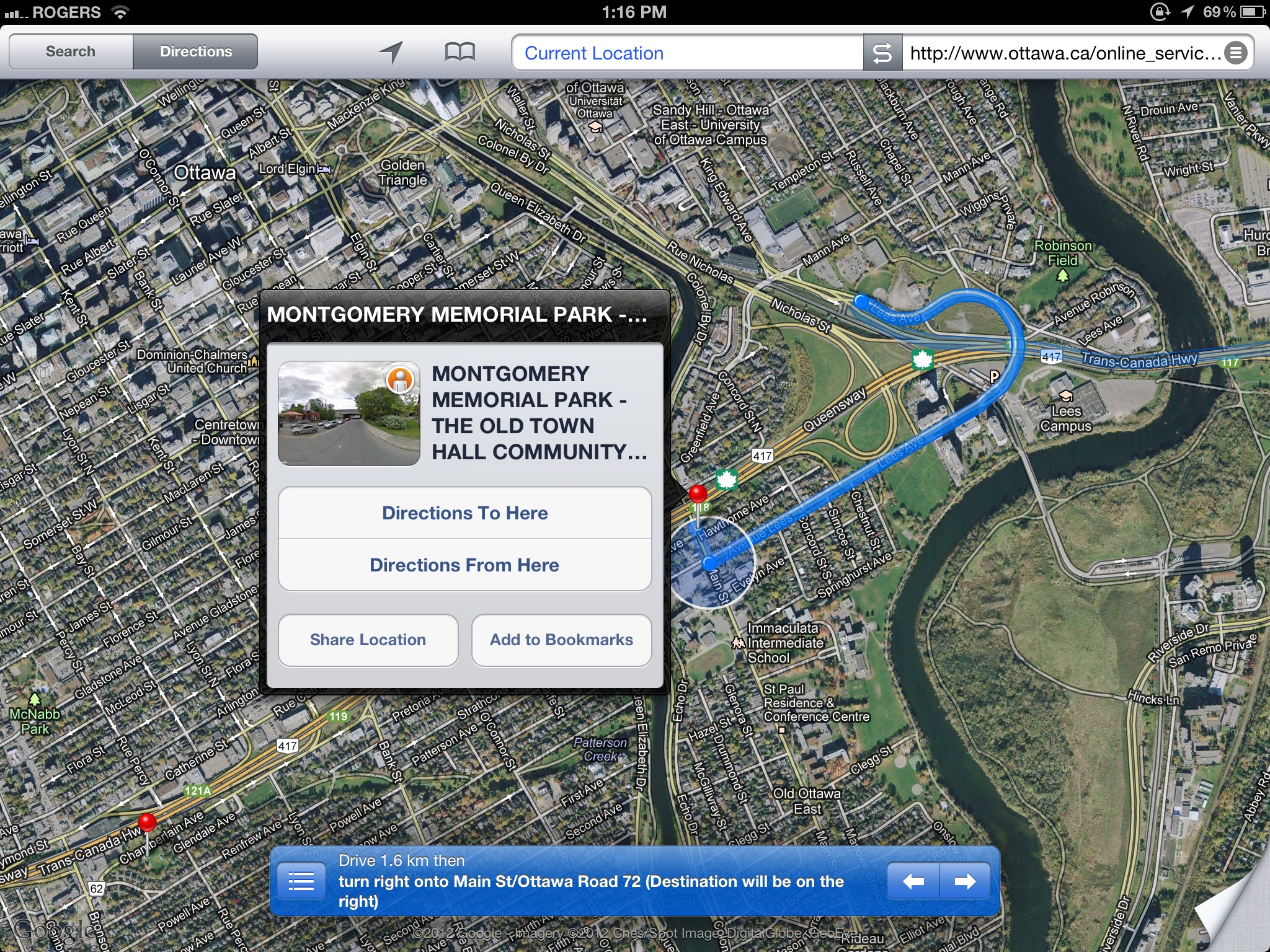
The good thing about opening the kml data in Google maps on your iPad is that you can get directions on route to your next splash pad. (You can’t get directions in the Google Earth app.) Opening up the kml data is also handy because you can see all of the splash pads around you right away.
The downside to using the kml data in Google maps (on the iPad app) is that it doesn’t seem to show all of the splash pads in the city. Maybe there’s a limit to the number of markers that the Google Maps iPad app can show at one time? (There doesn’t seem to be a problem if you open up the map on your PC (or Safari on the iPad, and not the iPad link. Click this link on the iPad to see what I mean.)


